

Olympic National Forest - Tubal Cain Trail #840 Forest Service - USDA
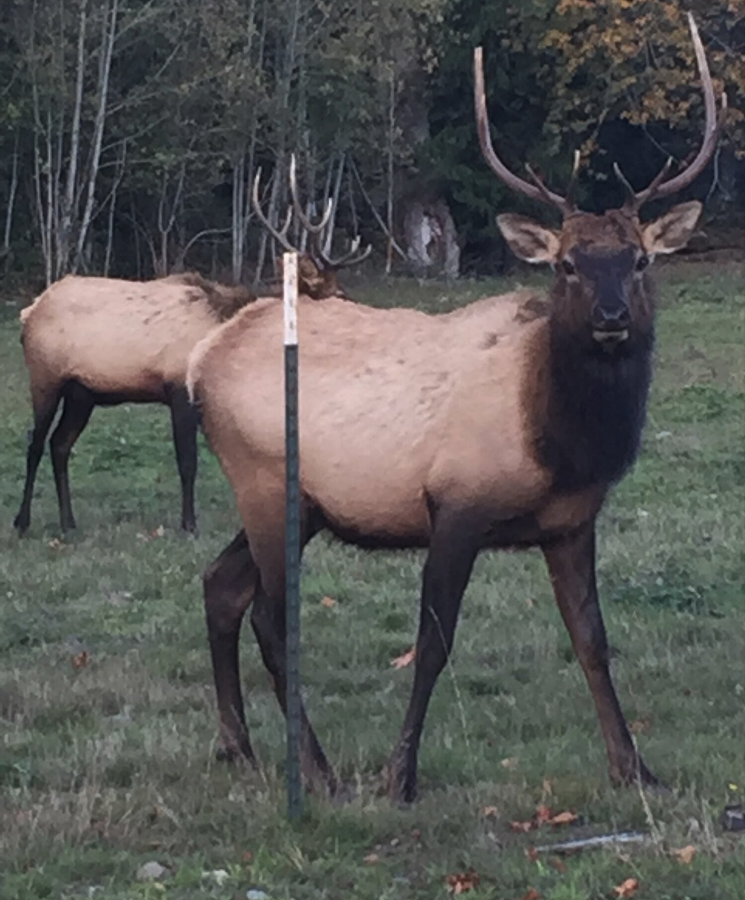
In the upper reaches of Tubal Cain Trail with views of the surrounding area
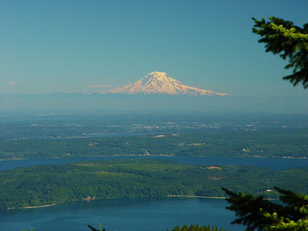
The Mt. Rainier volcano dominates Puget Sound, seen from Mt. Walker. Dabob Bay and Hood Canal in the foreground. Photo: In Wonder Photo

SHORT HIKE
Ranger Hole Trail: South of Brinnon, take Forest Service Road #2510 4 miles to the end of pavement. Trail is on the left, near Interrorem Cabin. The historic 1907 Interrorem Cabin is for rent. Contact Hoodsport Ranger Station for information: (360) 877-5254. Trail is 0.8 mi., mostly flat but steep down to the river. Moderate difficulty. Views of falls can be seen from Ranger Hole, so named because rangers stationed at the guard station used to fish there. HAZARD WARNING: River contains swift water, rapids, and waterfalls. Use extreme caution near this river. USFS Olympic National Forest web site

MEDIUM HIKE
Mt. Walker Viewpoint & Mt. Walker Trail: Turn on Mt. Walker Viewpoint Road off Hwy 101. Drive 1/4 mile to trailhead. Pullover parking on the left; trailhead on right. 2 mile, fairly steep - 10-20% grade, 2,000 foot elevation gain, to 2,805 feet. Forested hike through Douglas-fir, spring blooming rhododendrons, salal and Oregon Grape. Vistas at the north viewpoint include Mt. Constance (pic above), Buckhorn Mountain, Mt. Baker, Vistas from the south viewpoint include the Hood Canal, Mt. Rainier, Seattle 28 miles away. Season May - September. USFS Olympic National Forest web site

Long HIKE
Duckabush Trail: At trailhead: vault toilet, parking, registration, wilderness permit box for Olympic National Park. Access Park trail via USFS Wilderness Trail #803. 1,000 foot ascent over Big Hump. River ford at Upper Duckabush can be hazardous in spring and early summer. Grade gets steeper in climb to subalpine headwaters at Marmot Lake and then O'Neil Pass (23 mi from trailhead). For more info, call Wilderness Information Center: 360-452-0300, Hood Canal Ranger Station: 360-877-5254; Staircase Ranger Station: 360-877-5569. Photo: Duckabush River at Ranger Hole by Alexa Pengelly

Marmot Pass "The quintessential Olympic Peninsula hike" according to Washington Trails Association. See ExploreOlympics
resources
Trails that access The Brothers Wilderness
- Lena Lake Trail #810 - This trail is 3.6 miles to the junction with The Brothers Trail and is considered moderate.
- The Brothers Trail #821- Accessed from Lena Lake Trail #810, this 3 miles trail provides access to popular climbing routes to The Brothers. It is considered easy to difficult.
- Duckabush Trail #803 - This trail follows the Duckabush River and enters Olympic National Park at 6.2 miles. It is considered easy to difficult.
- Mt. Jupiter Trail #809 -This difficult 7.9 mile trail provides access along Jupiter Ridge to Jupiter Lakes. This trail is hot and dry during the summer months.
Trails that access Buckhorn Wilderness
- Tubal Cain Trail #840, This 8.6 miles trail is considered moderate.
- Tunnel Creek Trail #841, This 7.6 mile trail is considered difficult.
- Upper Dungeness Trail #833.2, This 8.1 mile trail is considered moderate.
- Upper Big Quilcene Trail #833.1, This 5.3 mile trail is considered moderate.
- Silver Lakes Trail #842, This 2.5 miles trail is considered moderate.
- Mt. Townsend Trail #839, This 6.7 mile trail is considered moderate.
